Brazil wind map (English)
Preliminary prospecting with high-resolution wind maps and data
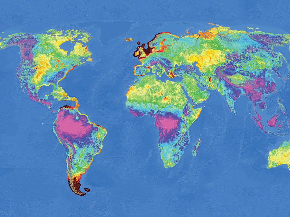
Wind resource maps and their corresponding data can fill critical needs at several stages in wind project development. They support site prospecting and early-stage feasibility studies, help evaluate alternative project sites and provide the basis for preliminary or advanced plant design and energy production estimates.
UL Solutions is an industry leader in the science and application of resource mapping and modeling. Our emphasis on high-resolution modeling using the most advanced methods and extensive validation means you can use our wind maps and data to help you make sound decisions about the future of your wind project. Some key benefits of our maps and data include:
- High-resolution difference, offering 200 m and 50 m data
- UL Solutions proprietary modeling approach – More than 4,000 meteorological towers around the world validate the Mesomap System.
- Utilize the same data and tools our experts use.
You can access maps, corresponding data used to prospect and site, and design wind projects through the Windnavigator platform.
Brazil wind map (Portuguese)
Vietnam wind map (English)
Vietnam wind map (Vietnamese)
Get connected with our sales team
Thanks for your interest in UL's products and services. Let's collect some information so we can connect you with the right person.

