

THE CONTENT OF THIS WEBINAR IS FOR GENERAL INFORMATION PURPOSES ONLY AND IS NOT INTENDED TO CONVEY LEGAL OR OTHER PROFESSIONAL ADVICE.
Watch now: The role of high-resolution data in early wind development success
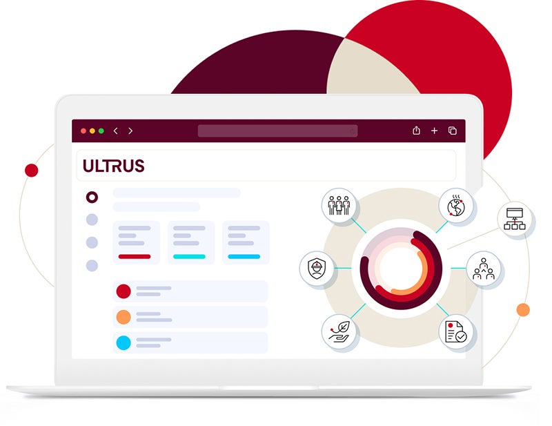
This insightful webinar focuses on how high-resolution data can enhance your early-stage wind development projects and pave the way for successful renewable energy initiatives. This session provides a comprehensive overview of our data solutions and the integral connections between our ULTRUS™ portfolio of software tools: Windnavigator, Windographer and RRAP, and Openwind.
Webinar date
Feb. 26, 2025
Speaker
José Vidal, Product Manager
Enhancing your early-stage wind development projects
This on-demand webinar explores how high-resolution data can support your early-stage wind development projects to help you assess wind power potential before committing to a location.
Wind resource assessment
You’ll discover our powerful ULTRUS™ suite of software tools—Windnavigator, Windographer, RRAP, and Openwind. In this webinar we will walk you through the exciting initial phase of wind resource assessment, focusing on how to identify the perfect candidate sites across vast areas while emphasizing the importance of reliable wind measurements over generic indicators like topography.
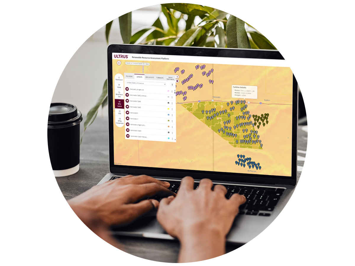
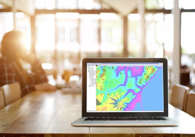
Wind Resource Maps
The webinar also delves into the use of Wind Resource Maps for effective site surveys, showcasing their seamless integration with Geographic Information Systems (GIS). We are addressing the significance of accuracy and validation in these tools. This session highlights the crucial role of wind flow modeling in estimating resources across potential turbine locations.
Webinar highlights
Learn how to effectively use our online platform to access validated wind speed data, crucial resource characteristics, and detailed maps — essential tools for kickstarting your wind projects.
Delve into how our high-quality datasets are generated through advanced numerical weather prediction models, equipping you with the insights necessary for strategic decision-making.
Gain best practices for utilizing validated wind speed maps, long-term time series analyses, and detailed site reports that will help maximize your project's viability from the outset.


Attend an upcoming webinar
Ready to elevate your industry IQ with insights and news from experts? Register for one of our upcoming events.
X
Get connected with our team
Thanks for your interest in our products and services. Let's collect some information so we can connect you with the right person.
Please wait…